A few maps I made
I enjoy making maps, especially exploring the artistic side of 3D terrain. If you’re interested in a print or have an idea for a map, I’d be happy to chat.
Open a map to zoom in and look around.
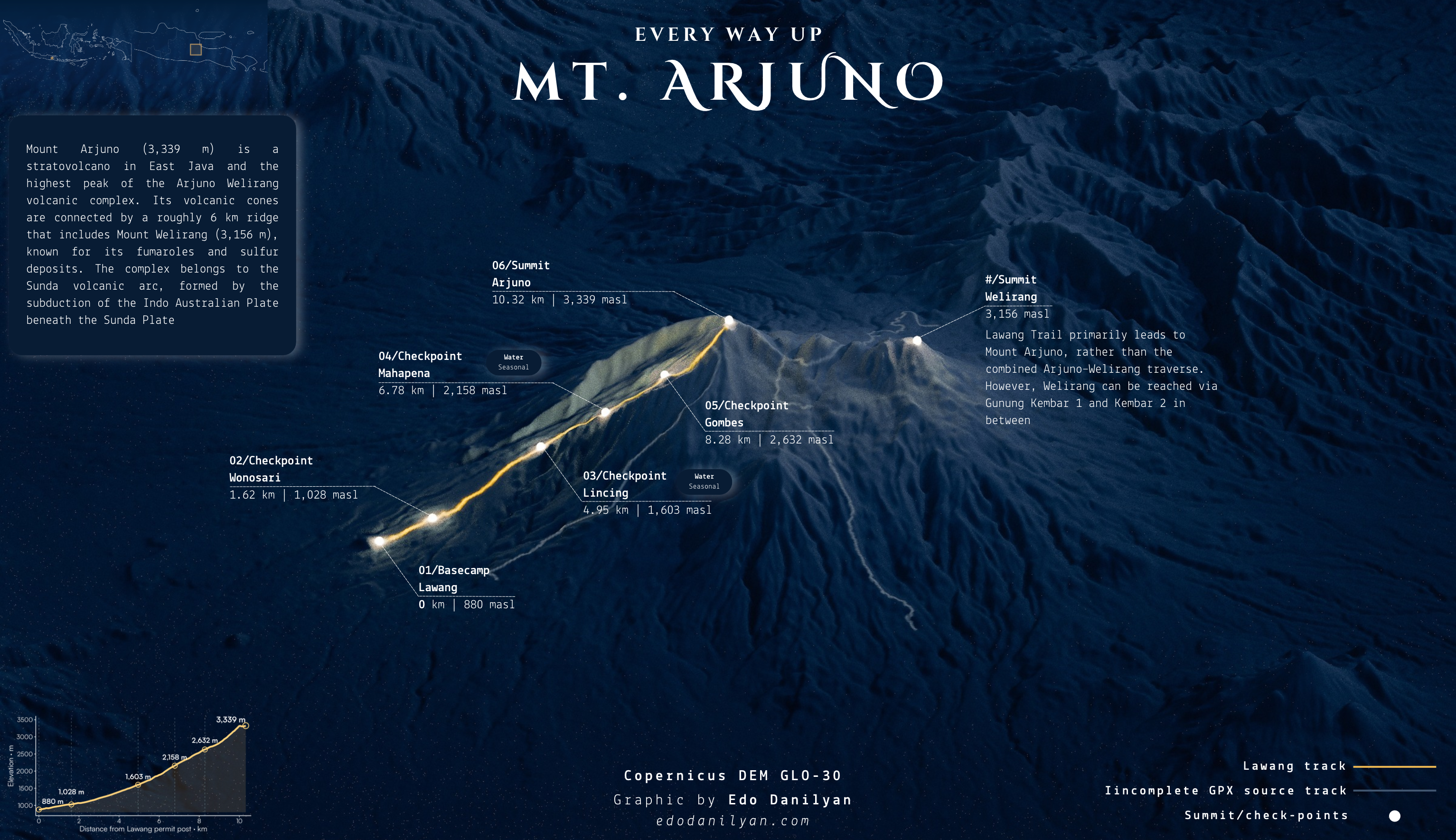
Every way up Mt. Arjuno
Mount Arjuno’s terrain and a hiking route, with checkpoints and an elevation profile.
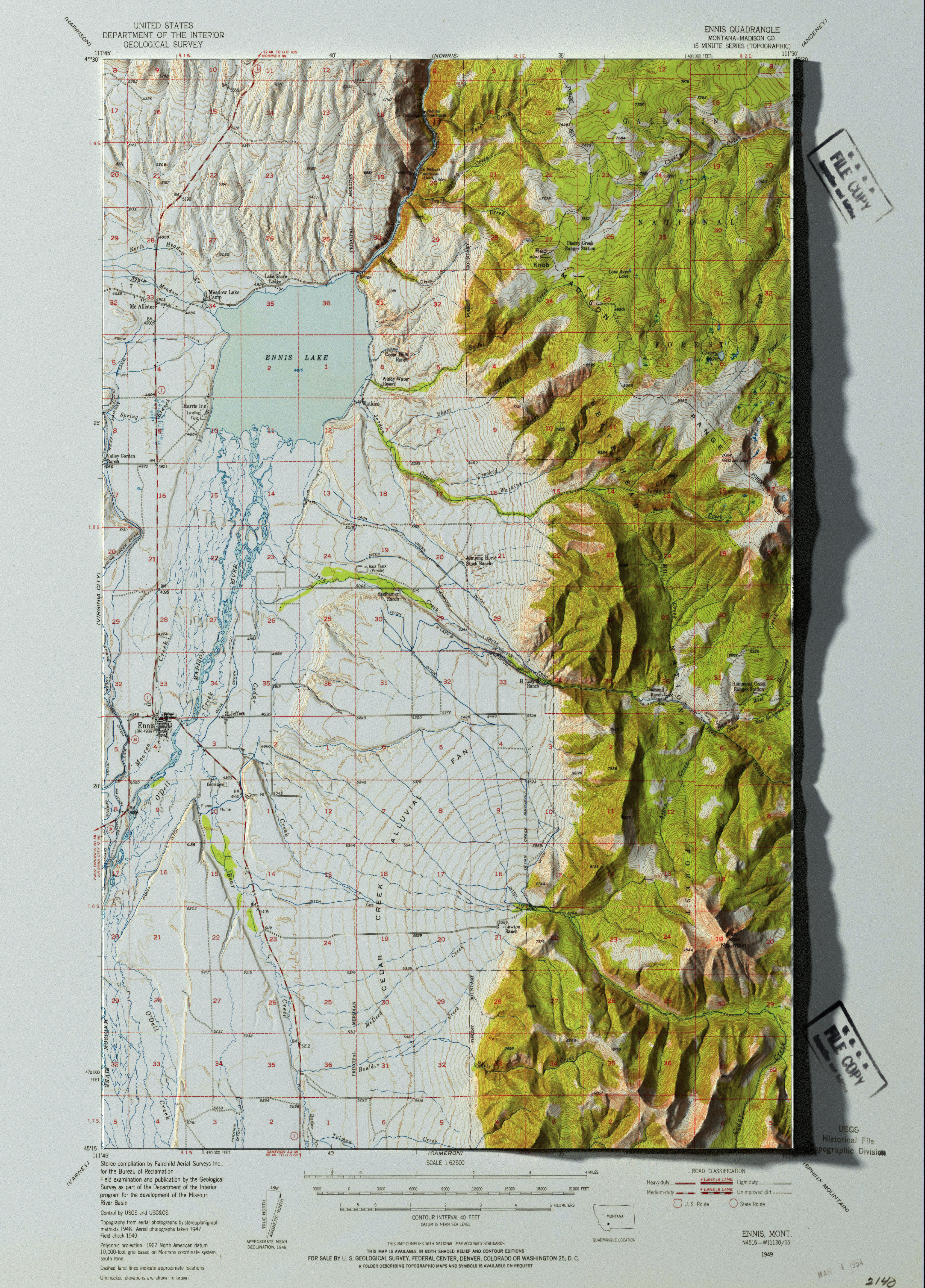
Ennis in relief
A topographic map of the Ennis area, combining the printed map with shaded terrain.
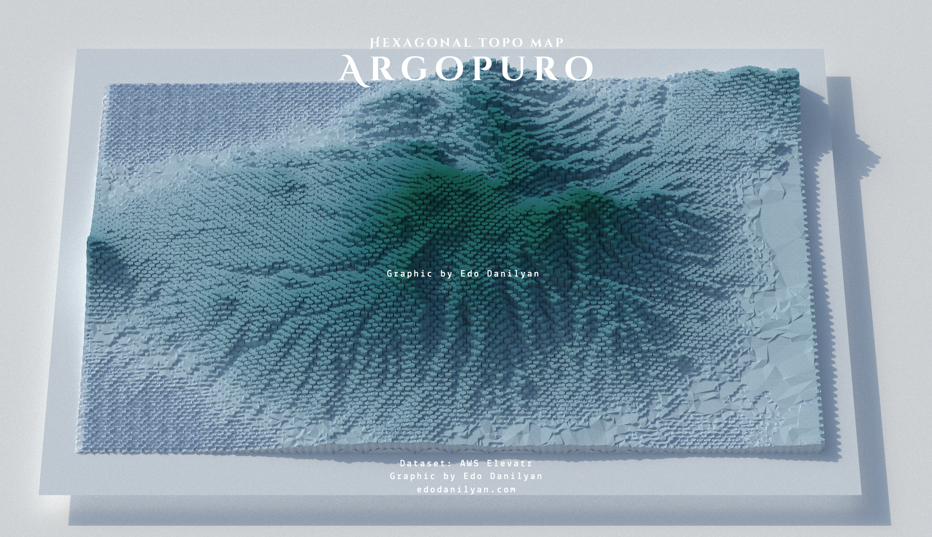
Argopuro
Argopuro’s terrain rendered as a field of hexagonal columns.
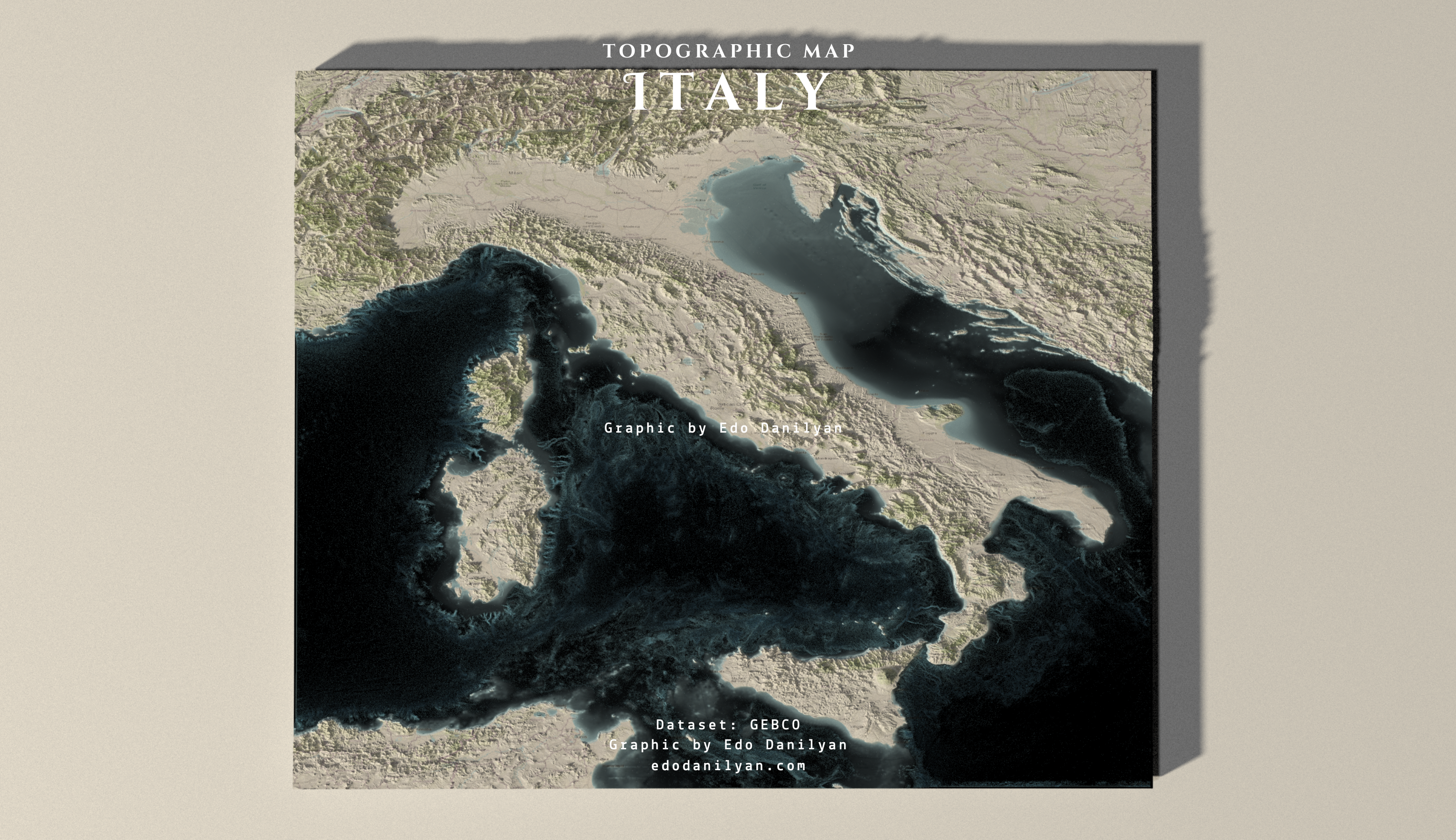
Italy in relief
Italy and its surrounding terrain, shown in three dimensions.
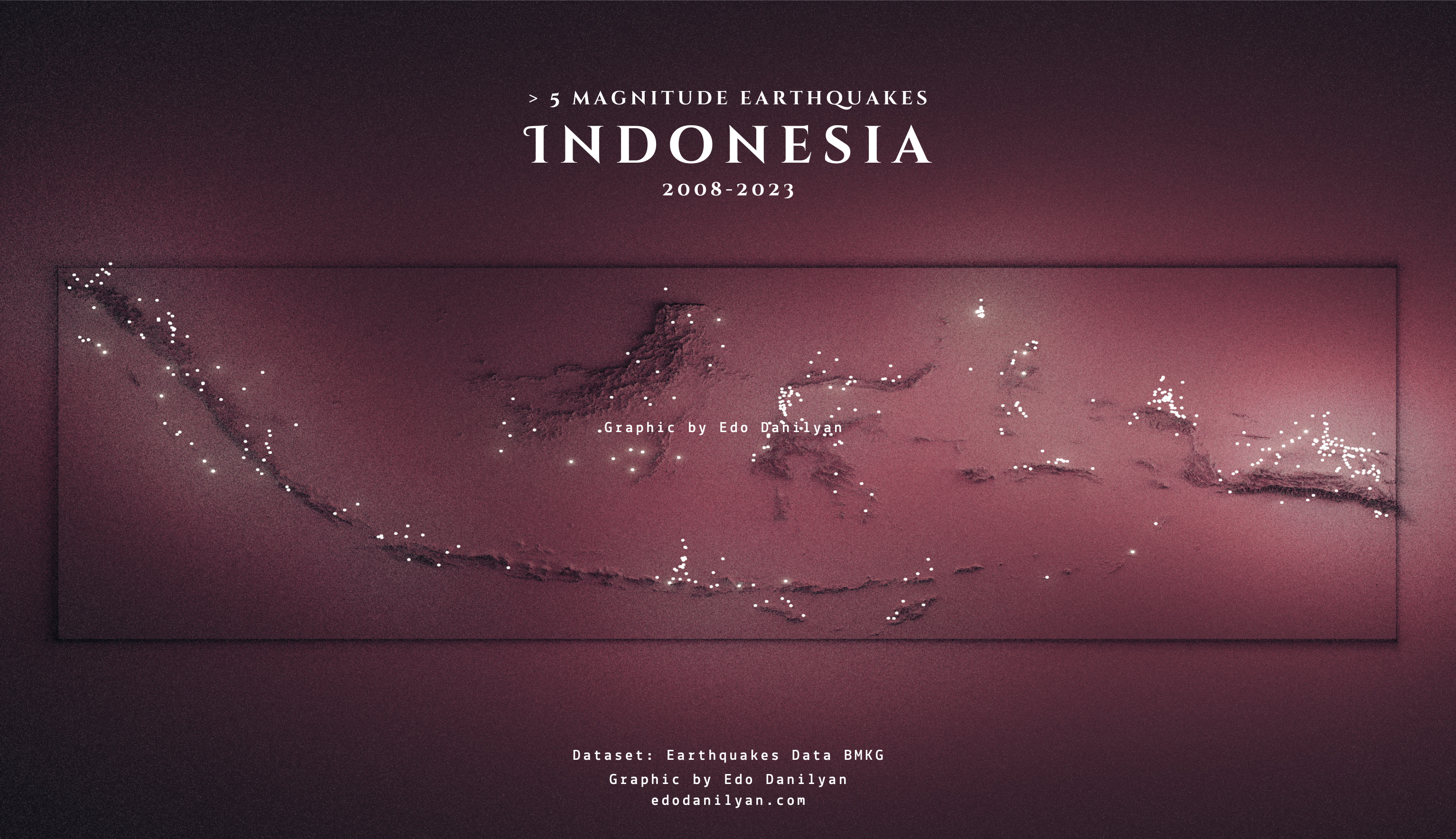
Earthquakes across Indonesia
Earthquakes above magnitude five across Indonesia, 2008–2023.
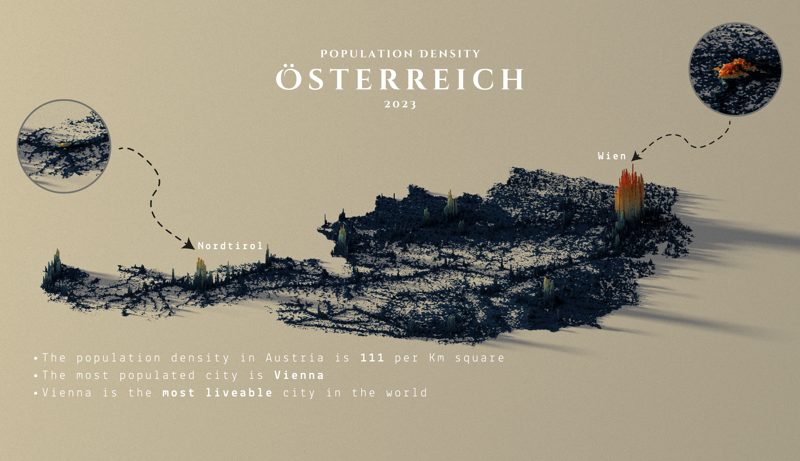
Where Austria lives
Austria’s population density in three dimensions, with a closer look at Vienna and North Tyrol.
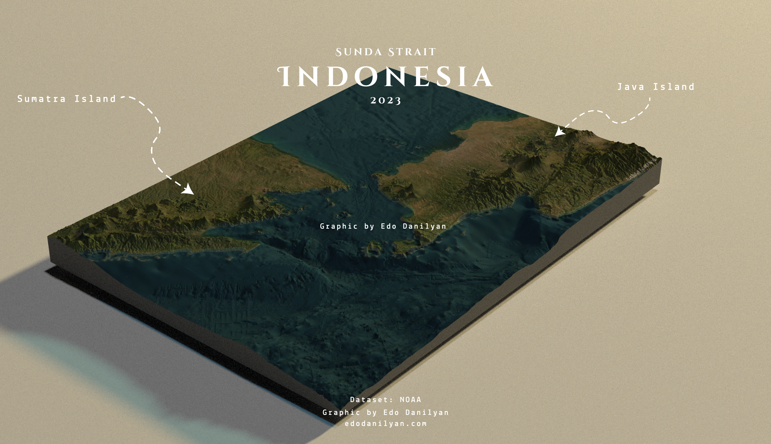
Across the Sunda Strait
The terrain above and below the water between Sumatra and Java.
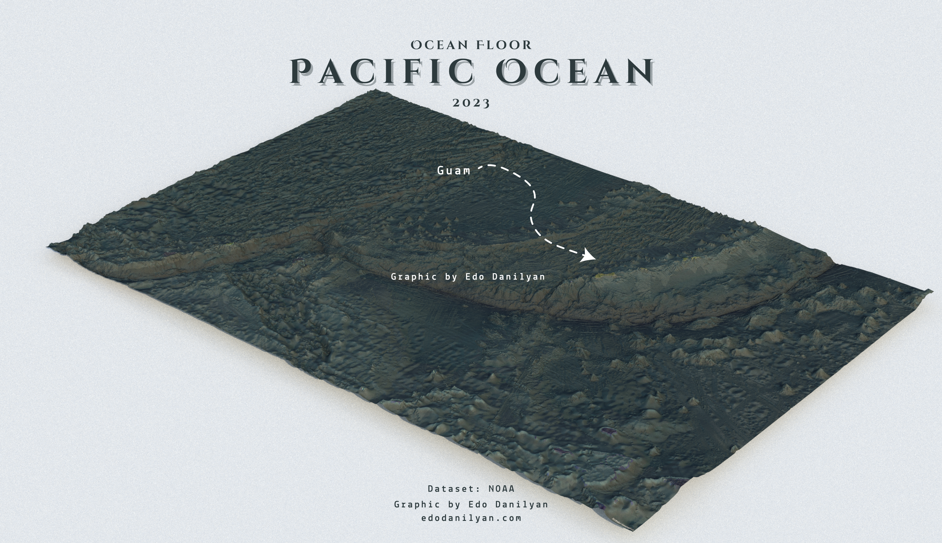
Beneath the Pacific
An oblique view of the Pacific Ocean floor, with Guam marked for reference.
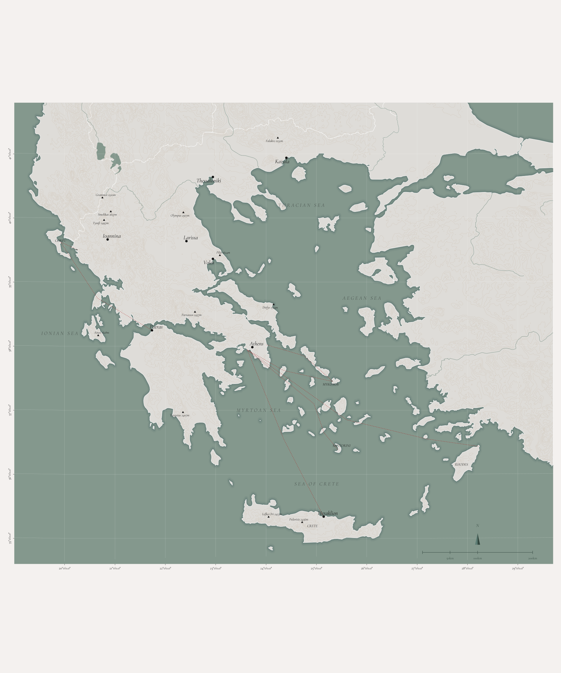
Greece and the Aegean
Greece and the Aegean, with routes connecting the mainland and islands.
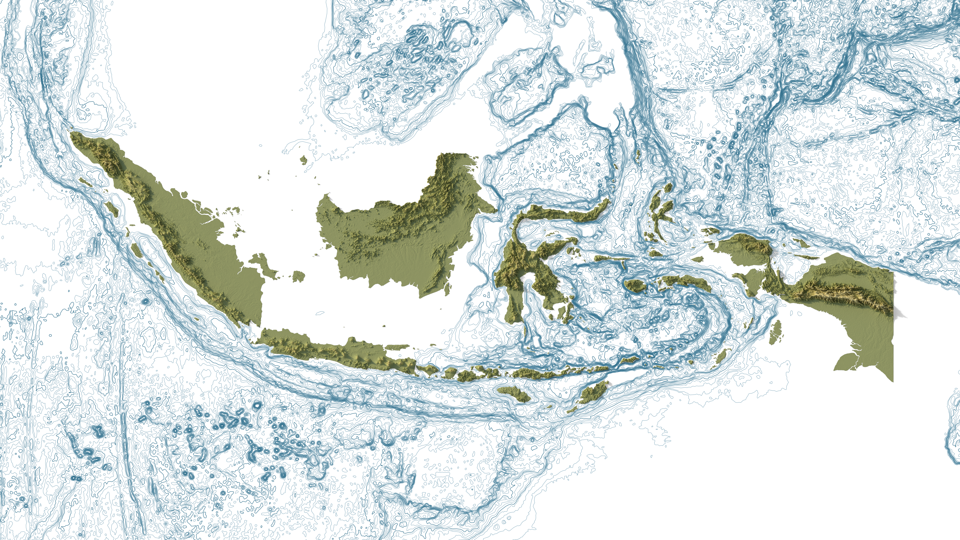
Indonesia above and below the sea
Indonesia’s landforms and the contours of the surrounding ocean floor.
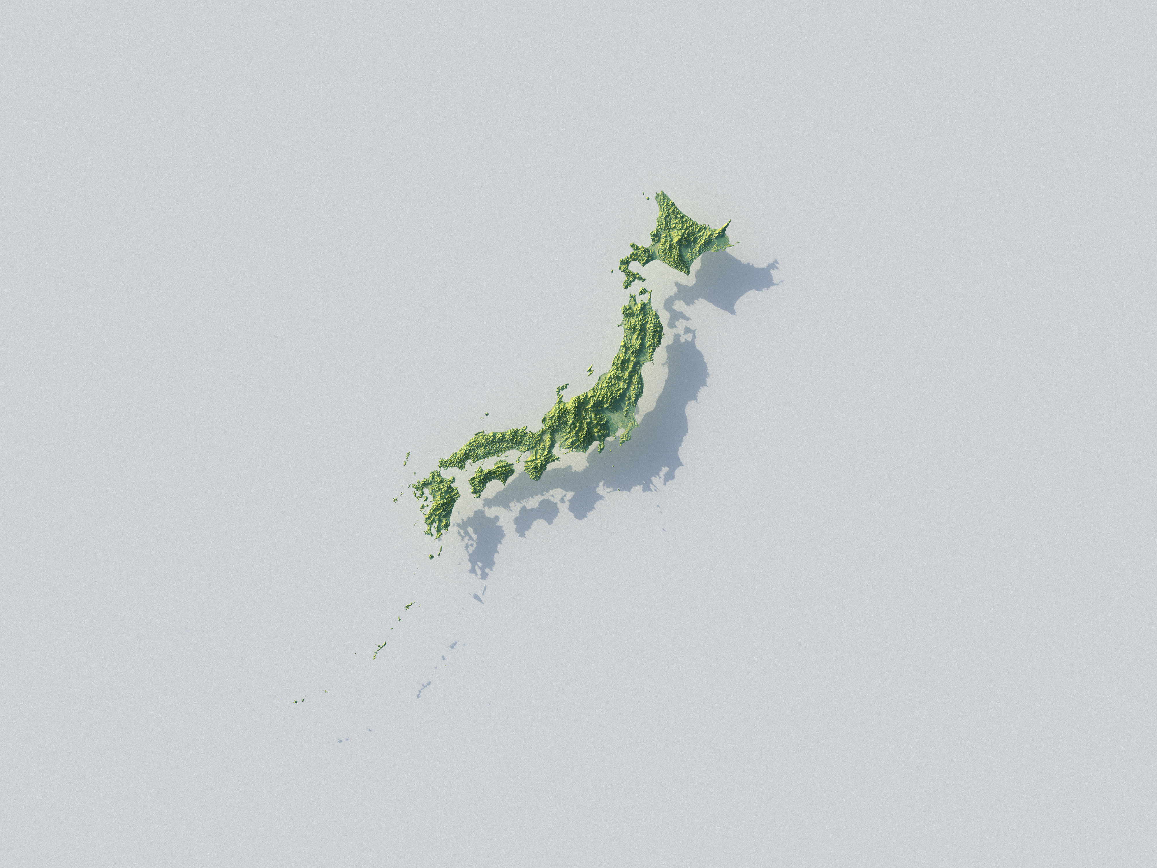
Japan in relief
Japan’s terrain rendered in three dimensions, with light and shadow highlighting the islands’ relief.
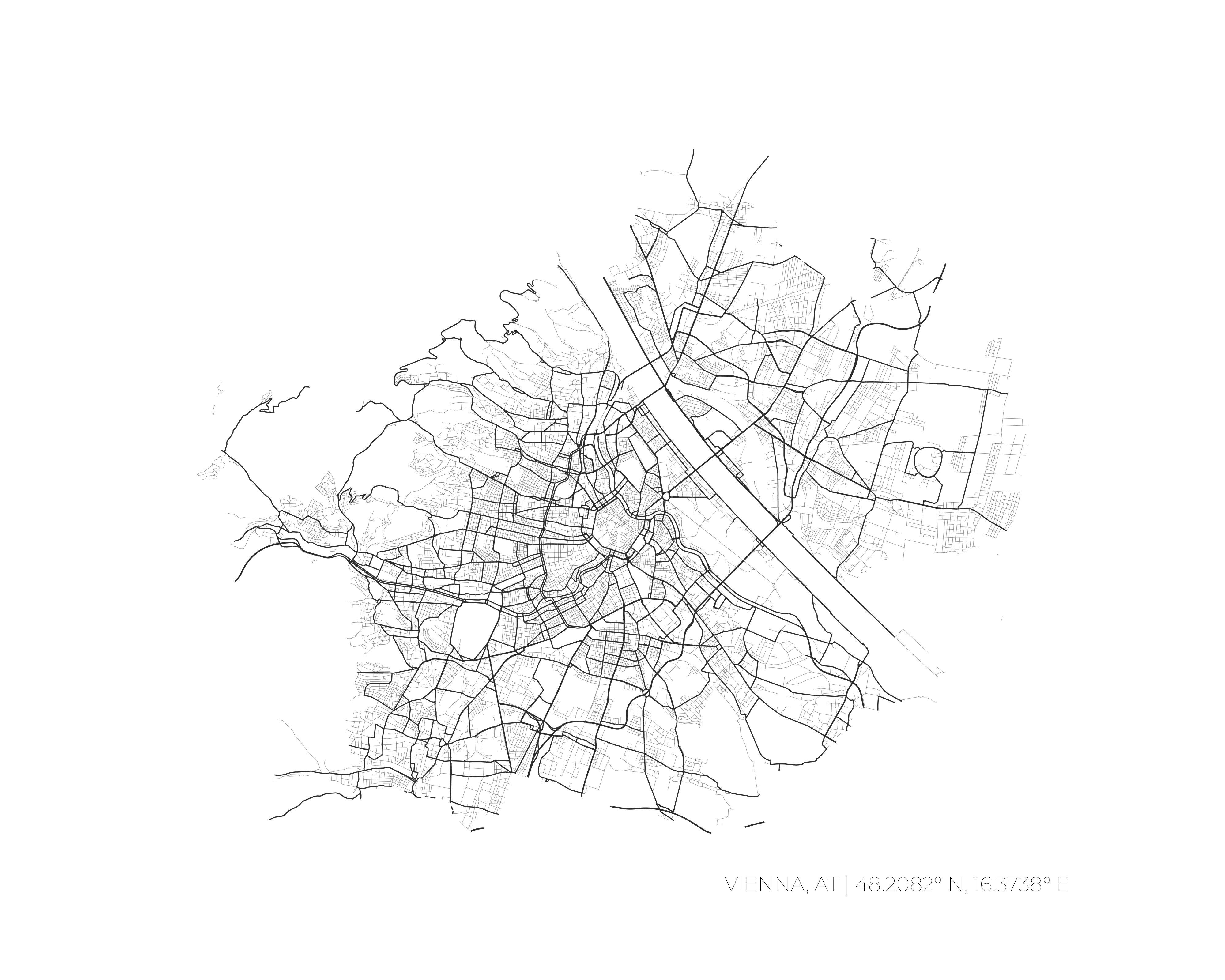
Vienna’s street network
Vienna’s street network, traced in black and grey.
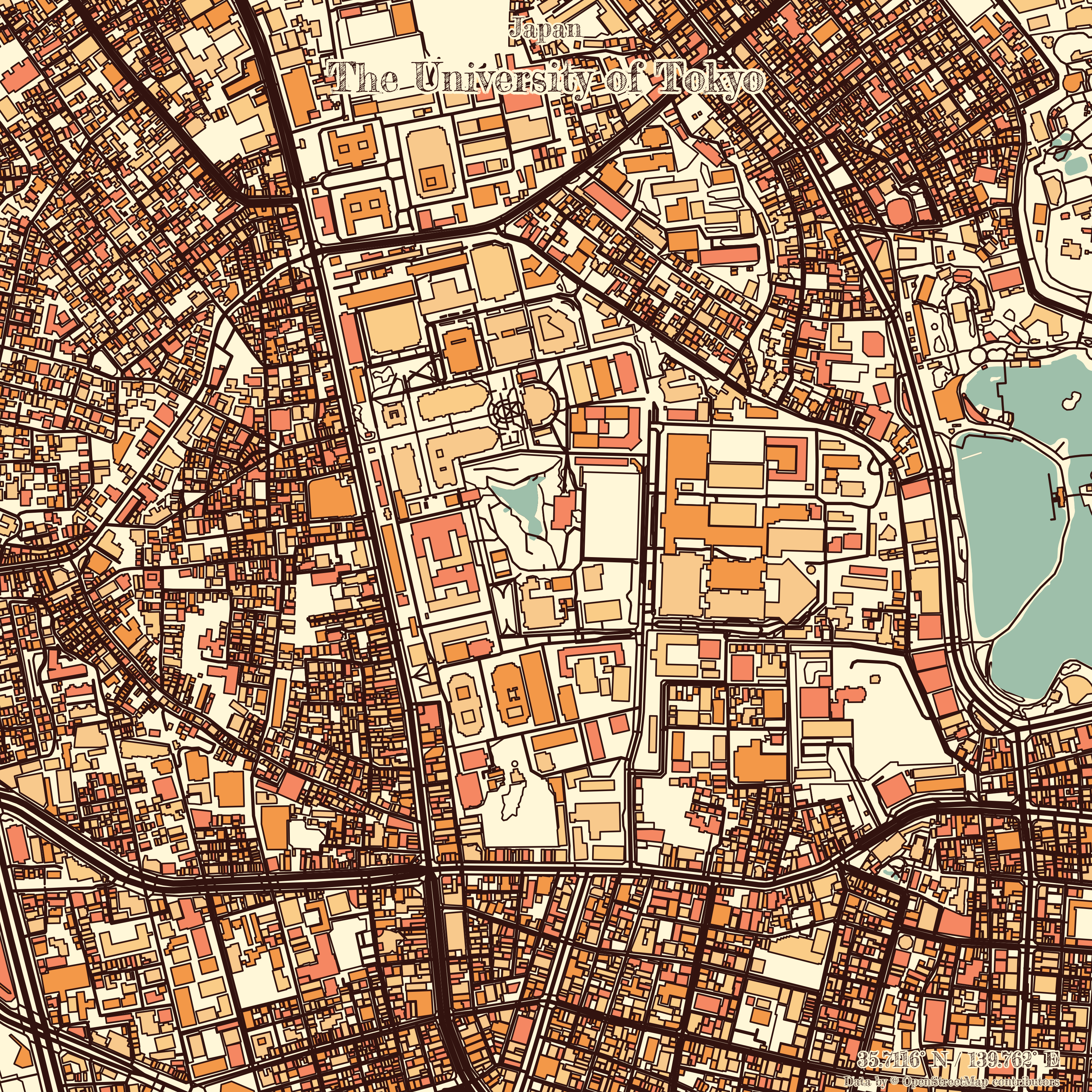
Around the University of Tokyo
Buildings, streets, and open spaces around the University of Tokyo.